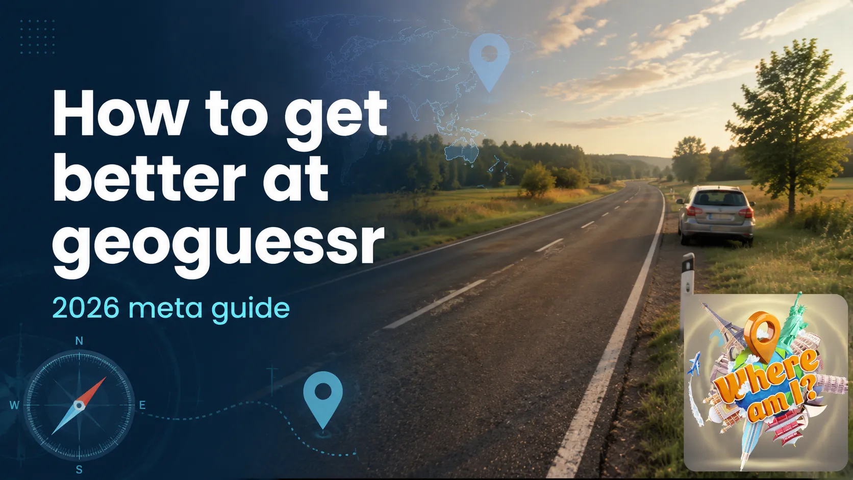
You get dropped on an empty road. No signs, no people, just asphalt, a few trees, and a white post on the roadside. Most players panic and click a random spot in Europe. A good player names the country in eight seconds. The difference isn’t talent, and it isn’t memorizing the whole planet. It’s knowing the meta: the small, repeatable visual clues that quietly tell you where you are.
This guide breaks down every clue category the top players use, in the order you should check them. Work through it once and your average guess will tighten from “somewhere in that continent” to “that province, probably.” And because the best way to learn is by playing, we’ll point you to free rounds you can drill on without a subscription.
Key Takeaways
- GeoGuessr ended its free unlimited mode on February 1, 2024; only the solo daily challenge stays free, and unlimited play now costs up to $6.99/month (Sportskeeda, 2026).
- Driving side instantly narrows the map: only about 76 countries and territories drive on the left versus roughly 163 on the right (WorldStandards, 2026).
- The strongest “meta” clues are physical and standardized per country: bollards, license-plate colors, road lines, and the Google car itself.
- You can practice every clue in this guide for free in Where Am I?, no paywall and no daily cap.
How do you actually get better at GeoGuessr fast?
You get better at GeoGuessr by learning a fixed checklist of clues and running it the same way every round, not by memorizing locations. Google Street View covers more than 110 countries and over 10 million miles of road (Google / Wikipedia, 2025), so brute-force memorization is hopeless. Pattern recognition scales; memorization doesn’t.
Think of it as elimination. Each clue removes a chunk of the planet until one country is left standing. Driving side cuts the map in two. Script and language cut it again. Bollards, plates, and the camera narrow it to a region. You’re not “guessing,” you’re filtering.
Our take: the single biggest jump in accuracy comes from one habit: after every round, replay the location and find the clue you missed. Five minutes of review per session compounds faster than any cheat sheet.
The pros call the high-value clues “metas.” Below, we go through them roughly in the order of how much they narrow things down. Don’t try to use all of them at once. Learn three, get comfortable, then add more.
Which side of the road do they drive on?
Driving side is the first thing to check because it splits the world almost in half with one glance. Only about 76 countries and territories drive on the left, while roughly 163 drive on the right (WorldStandards, 2026). Around 35% of the world’s population lives in left-hand-traffic countries (Statista, 2025).
Left-driving is mostly a fingerprint of the British Empire: the UK, Ireland, India, Pakistan, Japan, Thailand, Indonesia, Australia, New Zealand, Kenya, South Africa, and most of southern Africa. See a car keeping left and you’ve eliminated all of the Americas, all of mainland Europe, and most of Asia in a single observation.
Can’t see a moving car? Look at the position of the Google car’s own shadow and the side of the road where bus stops, parked cars, and road wear cluster. The infrastructure itself leans toward the driving side.
What can a license plate tell you?
License plates are a top-tier meta because their color, shape, and proportions are standardized nationally, even though Google blurs the actual numbers. According to community meta references like GeoTips, plate format alone often pins a country before you read a single sign. The data you need survives the privacy blur.

A montage of European number plates — color and band patterns survive Google’s blur. Photo via Wikimedia Commons (CC BY-SA).
Some fast reads worth memorizing:
| Plate signature | Likely country/region |
|---|---|
| Yellow front and rear plates | Netherlands, Luxembourg, parts of the UK (rear) |
| White front, yellow rear | United Kingdom |
| Blue vertical stripe on the left edge | European Union member states |
| Mercosur blue band across the top | Argentina, Brazil, Uruguay, Paraguay |
| Tall, near-square plates | Japan, parts of the Gulf |
| Red plates | Bhutan (a rare but instant tell) |
You usually can’t read plates from the road, so use the zoom on nearby parked cars. The shape-and-color pattern is the signal, not the characters. Pair a yellow plate with left-hand traffic and you’re almost certainly in the UK; pair it with right-hand traffic and you’re leaning Netherlands.
Why are bollards a GeoGuessr pro’s secret weapon?
Bollards, the short posts lining road edges, are arguably the most reliable meta because countries standardize their design and rarely change it. Meta guides such as GeoTips catalog dozens of national bollard styles precisely because they work when signs, plates, and people are all absent.

Bollard designs are standardized per country and rarely blurred — a single post can separate two neighbors. Photo via Wikimedia Commons (CC BY-SA).
A few recognizable examples:
- Denmark: short white posts with a green reflector.
- Austria: white with a black cap and a dark-red reflector.
- Italy: diagonal black-and-white stripes.
- France: red strip near the top on a white post.
- Japan: distinctive snow poles and reflective delineators in rural areas.
Why do bollards beat flashier clues? Because they appear on almost every rural road, they’re rarely blurred, and a single bollard can separate two neighboring countries that otherwise look identical. Spend one practice session just looking at roadside posts and your rural accuracy will jump.
How do road lines and markings narrow it down?
Road markings are a quiet but powerful filter because each country has its own palette and pattern for center lines, edge lines, and shoulders. The combination of line color, dash length, and outer-edge treatment is surprisingly consistent within borders and surprisingly different across them.
Quick contrasts to train your eye:
- Yellow center lines are common in the Americas, Japan, and parts of Southeast Asia; most of Europe uses white.
- Wide white outer edge lines with a yellow inner line lean toward Italy or the Balkans.
- No markings at all on a paved rural road points toward parts of Eastern Europe, Russia, or rural Africa and Asia.
Combine this with the surrounding clues. Yellow center lines plus right-hand traffic plus a Latin script narrows you toward the Americas before you’ve even looked at a sign.
Language and writing systems: the fastest country filter
Reading the script on a sign is the single fastest way to cut the world down, because writing systems map cleanly onto regions. If you can recognize Hangul (Korea), Kana and Kanji (Japan), Thai, Cyrillic, Arabic, Greek, Hebrew, or Devanagari on sight, you’ve eliminated entire continents in one read.
Latin script is the tricky one, since dozens of countries use it. That’s where diacritics earn their keep: the å, ä, ö of the Nordics; the ą, ę, ł of Polish; the ț, ș of Romanian; the ñ of Spanish; the ı (dotless i) of Turkish. A single accented letter can move you from “somewhere in Europe” to one country.
Don’t have a sign? Domain endings on storefronts and trucks still count: a “.pl” on a van or a “.com.au” on a billboard is as good as a flag. Even phone-number formats and the language of graffiti help. For a structured way to drill scripts and capitals together, try our capitals of the world quiz.
The Google car and camera meta
The Street View vehicle itself is one of the strongest metas, because Google uses different cars, rigs, and camera generations in different countries. There are four broad camera generations, and each leaves its own fingerprint: resolution, color cast, and the way the sky and the car’s own snorkel or roof rack appear in frame (reverseimagelocation, 2026).

The Street View vehicle and its camera rig appear in every frame — a fingerprint that works even on empty roads. Photo via Wikimedia Commons (CC BY-SA).
Some “car metas” are almost giveaways:
- Kenya: a tall snorkel visible on the hood.
- Ghana: roof bars wrapped in black tape.
- Ukraine: a distinctive red car.
- Bangladesh: roof bars with red mirrors and yellow/green vehicle doors.
- Older, blurrier “Gen 2” imagery: common in countries mapped years ago and never refreshed, like parts of the Balkans or Latin America.
Why does this matter so much? Because the camera fingerprint is present in every single frame, no matter how remote the road. When there are no signs, no plates, and no people, the car is still talking to you.
Use the sun, shadows, vegetation, and climate
When man-made clues run out, nature fills the gap: the sun tells you your hemisphere and vegetation tells you your latitude. In the Northern Hemisphere the midday sun sits to the south, so shadows fall north; in the Southern Hemisphere it’s reversed. Check the in-game compass against the shadows and you’ve immediately halved the planet.
Vegetation and climate add the next layer. Eucalyptus and red soil suggest Australia. Tropical palms plus right-hand traffic and a Mercosur plate suggest Brazil. Birch forests and long shadows suggest Scandinavia or Russia. Arid scrub with the snorkel car suggests Kenya or Namibia, a landscape we cover in our Namibia street view guide.
Unique insight: beginners over-rely on signs and freeze when there aren’t any. Pros do the opposite: they treat the absence of signs as a clue, because empty, unmarked, lightly-trafficked roads are themselves a regional signature. Learn to read the landscape and you’ll never be fully lost.
A repeatable 30-second guessing routine
The fastest way to improve is to stop guessing randomly and run the same checklist every round. Top players don’t think harder, they think in a fixed order, which is why their guesses are both quicker and more accurate. Here’s the routine to internalize:
- Driving side: left or right? Cut the map in half.
- Script: Latin, Cyrillic, Arabic, CJK, other? Cut it again.
- Camera/car: any snorkel, roof rack, color cast, or blur generation?
- Roadside: bollards, plates, and road-line colors for the region.
- Nature: sun direction for hemisphere, vegetation for latitude.
- Commit and review: drop your pin, then replay the spot to find what you missed.
Run those six steps in order and you’ll convert vague hunches into structured deductions. The review step in particular is where real improvement lives: it turns every mistake into a clue you’ll never miss again.
Where can you practice GeoGuessr clues for free?
You can practice every clue in this guide for free in Where Am I?, which keeps unlimited rounds open with no paywall. That matters in 2026: GeoGuessr discontinued its free unlimited mode on February 1, 2024, leaving only a solo daily challenge free, while unlimited play now runs from a roughly $3.99/month annual plan up to $6.99/month month-to-month (Sportskeeda, 2026).
Where Am I? takes a different angle from static panoramas. Instead of frozen images, it drops you into immersive street-walk videos, so you can watch bollards, plates, and road lines go by in motion, closer to actually walking the street. It’s free on iOS, Android, and the web, with daily challenges, multiplayer duels, and weekly tournaments to pressure-test your meta knowledge.
Ready to drill these clues? Play Where Am I? free. No subscription, no daily cap, just round after round to sharpen your eye. New to the genre? Start with our roundup of the 10 best free GeoGuessr alternatives in 2026 to find the right practice ground.
Frequently Asked Questions
Most players see a clear jump within one to two weeks of focused practice. The skill curve is fast early because a handful of metas (driving side, script, and bollards) cover a huge share of rounds. With Google Street View spanning 110+ countries (Wikipedia, 2025), continued review is what separates good from great.
Driving side is the best opening clue because it instantly halves the map: only about 76 countries and territories drive on the left versus roughly 163 on the right (WorldStandards, 2026). It’s quick to spot and it frames every clue you check afterward, from plates to road lines.
No. GeoGuessr ended its free unlimited mode on February 1, 2024, and now keeps only a solo daily challenge free; unlimited play costs up to $6.99/month (Sportskeeda, 2026). Free alternatives such as Where Am I? offer unlimited rounds at no cost.
Yes. Memorization barely matters. The game rewards pattern recognition: reading standardized, repeatable clues like bollards, plate colors, and the Google car’s camera fingerprint. These appear on nearly every road, so a short checklist beats trying to memorize 10 million miles of street imagery.
Mostly, yes. Driving side, scripts, road markings, vegetation, and sun position are universal real-world signals, so they transfer to any Street-View-style game. The car and camera metas are specific to Google’s imagery, so they apply wherever the game uses Street View panoramas or videos.
Final thoughts
Getting better at GeoGuessr isn’t about being a walking atlas. It’s about running the same six-step checklist every round and learning one new meta at a time. Start with driving side and script, add bollards and plates, then layer in the camera and the landscape. Each clue eliminates a slice of the planet until only one answer remains.
The fastest path from here is reps. Pick three metas from this guide, then play a few rounds where you consciously look for them and review every mistake. Do that for a week and you’ll feel the difference.
Put it into practice now: Play Where Am I? free and run the checklist on real street-walk videos, then sharpen your basics with our world map quiz.
Disclaimer: Where Am I? is an independent game and is not affiliated with GeoGuessr or Google.
Sources
- Sportskeeda, “GeoGuessr going paid after ending free subscription,” retrieved 2026-06-19, https://www.sportskeeda.com/esports/news-corpo-gonna-corpo-geoguessr-going-paid-ending-free-subscription-fans-disappointed
- WorldStandards, “List of left- and right-driving countries,” retrieved 2026-06-19, https://www.worldstandards.eu/cars/list-of-left-driving-countries/
- Statista, “Which side of the road do you drive on?”, retrieved 2026-06-19, https://www.statista.com/chart/9261/which-side-of-the-road-do-you-drive-on/
- Wikipedia, “Google Street View,” retrieved 2026-06-19, https://en.wikipedia.org/wiki/Google_Street_View
- GeoTips, “Tips and tricks for GeoGuessr,” retrieved 2026-06-19, https://geotips.net/
- ReverseImageLocation, “Google Street View car meta guide,” retrieved 2026-06-19, https://reverseimagelocation.com/learn/geo-game-car-meta
The Where Am I? team builds a free geography guessing game that drops players into street walk videos from around the world and challenges them to pin their location on the map as accurately as possible.
Available on iOS and Android, the game offers campaign challenges, tournaments, live multiplayer duels, global leaderboards, and a collection system built around famous monuments such as the Eiffel Tower, the Colosseum, and the Statue of Liberty.
Positioned as a free alternative to GeoGuessr with no paywall, Where Am I? makes geography gaming open to every kind of player.
On this blog the team shares guides, country breakdowns, and practical tips that help players read visual clues, climb the leaderboard, and explore the world from their screen.

